New files in: 1 day, 3 days, 7 days, 30 days
| Most downloaded for: all time,
year,
half a year,
month,
two weeks,
three days
Most popular by rating | Submit a file
Most popular by rating | Submit a file
| Folder: |
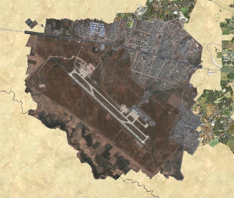
There's only two scenery files I could find online for ORSU, one is outdated and the other is incorrect. I decided to make my own scenery using ADE, SBX, and Paint.NET.
Charts are included (with the exception of SID for 31) and are official, directly from Sulaimaniyah Int'l Airport's website.
All taxiways, aprons, building locations, and parking, are accurate and realistic. This scenery was made for P3Dv4+ and can be used on VATSIM.
Name: Sulaimaniyah Int'l Airport
ICAO: ORSU
IATA: ISU
Country, region: Iraq, Kurdistan
→ Size:
23 MB
→ Date:
5 years ago (12.05.2021 18:03)
→ Author:
User454 (T.M.)
→ Approved by moderator:
Lenya69
→ License:
Freeware - Free version, Do Not Redistribute
→ Downloaded:
163 time(s)