Mesh Severo-Zapada Rossii.
| Rating: 5!
3-h sekundniy mesh Severo-Zapada Rossii ot 60 do 64 gradusov severnoy shiroti i ot 24 do 36 gradusov vostochnoy dolgoti.
→ Size:
19 MB
→ Date:
18 years ago (13.06.2008 19:06)
→ Author:
Владимир Волоцков AKA Flogger
→ License:
Freeware - Free version, Unlimited Distribution
→ Downloaded:
2022 time(s)
5
Yes ... We are not at Kose obedesh! Soviet maps are not worse than American .////// author credit, most airfields C-W are perfectly compatible.
− AlexeiPr,
18 years ago,
#
if you can, Taimyr, please.
− 4beer,
18 years ago,
#
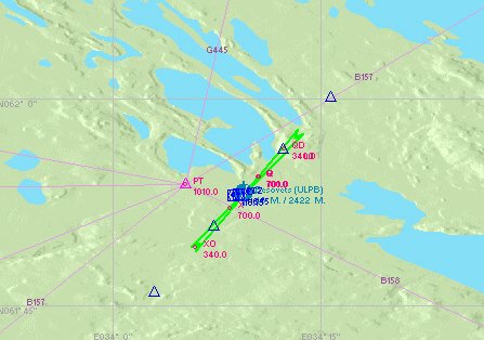
Notice I did not say that the SRTM mesh;). The point is that the SRTM data from these latitudes in nature does not exist, simply as "shuttle does not fly there. I understand from the description, the author of this data Jonathan de Ferranti (http://www.viewfinderpanoramas.org/dem3.html), use our Soviet maps to construct a grid of heights, and then translated them into a format *. hgt. Well, I just did bzhlki our territory. If you'd like, you can put the same latitude, but the more eastern areas. With regard to accuracy, it appears to the places that I know, (ULPB, for example), is very similar. I will say, however, that conflicts with mesh projects ULMM and ULMK. There AIRFIELDS obtained on the following platforms and incorrectly displays Lake.
− Flogger,
18 years ago,
#
Under the draft ULLL fit?
− Eclipse,
18 years ago,
#
This is something that is not in strm?
− serghio,
18 years ago,
#